Be Back Whenever

Monthly Archive: March 2019

3/31 – Ireland, part 2

After Julia flew back to Iowa, Mark and I headed north to Belfast, Northern Ireland. It’s certainly not as big as Dublin and not as prosperous but the visit gave us an opportunity to try to understand more about The Troubles over the years. 

A high cross at Monasterboice. We stopped along the way to Belfast.

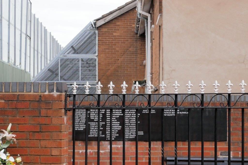
We took an interesting and educational Black Taxi tour of The Troubles area in Belfast. The “wall” – really a 70-foot high fence that’s been made taller since the Good Friday agreement was signed – still exists as well as gates between the Roman Catholic and Protestant areas in the Falls Road area. The gates are closed and locked every night at 11 PM.

This memorial is on the Catholic side of the fence. These houses have fencing over their backyards to keep rocks from damaging windows. The fence is now about 70 feet tall to prevent more damaging items from making it over the fence.

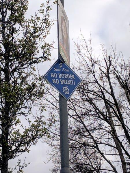
We’ve been listening carefully to all the Brexit coverage here where the BBC has pretty much non-stop coverage. It’s a new surprise every day! The border between the Republic of Ireland and Northern Ireland is a huge sticking point. Personally, I can’t see any solution to the open border of Good Friday agreement and the closed border of the EU/non-EU country.  At the moment, there’s no border – just a sign saying “Welcome to Northern Ireland” on the M1 that’s been covered with red paint!  When we left NI, we saw no signs at all.

These signs are everywhere in Northern Ireland – at least in Nationalist areas.

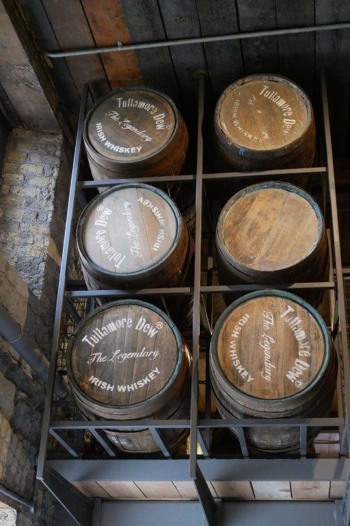
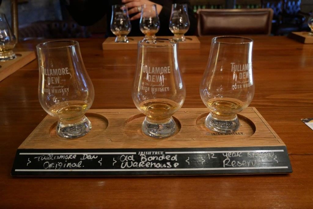
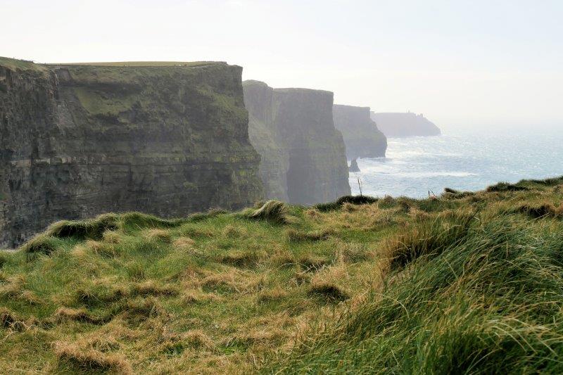
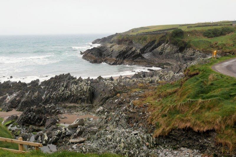
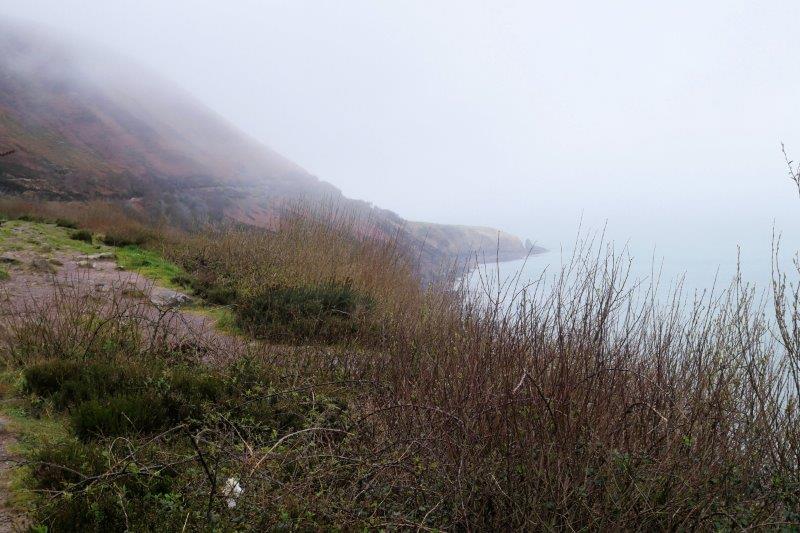
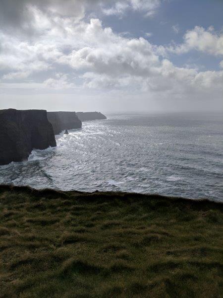
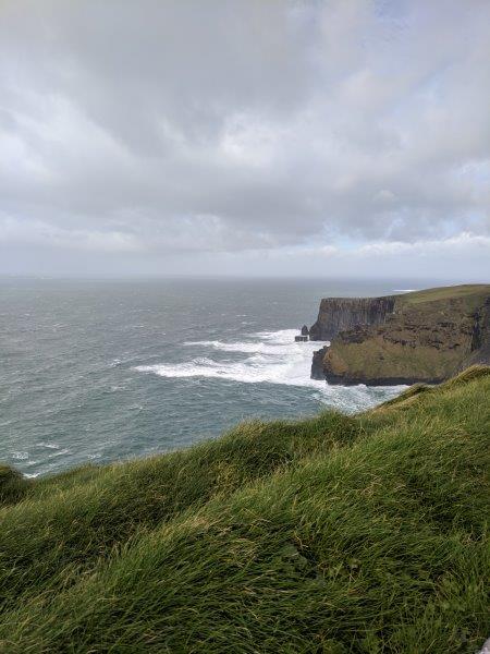
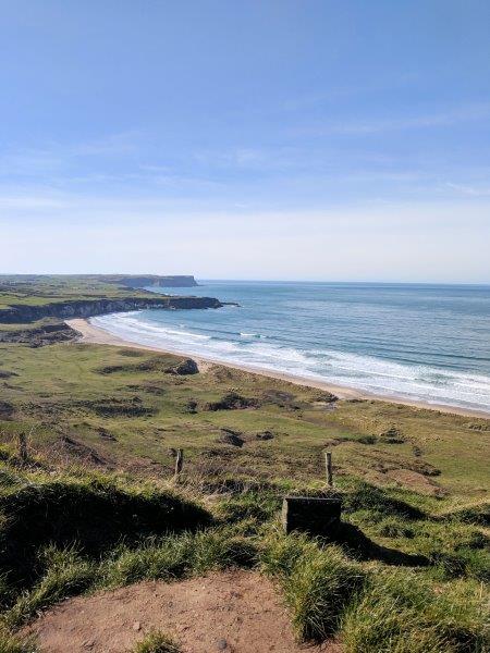
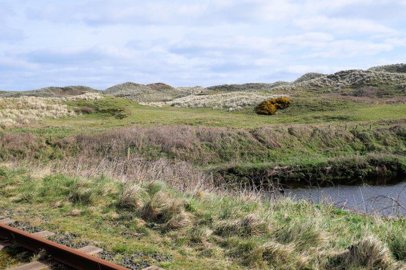
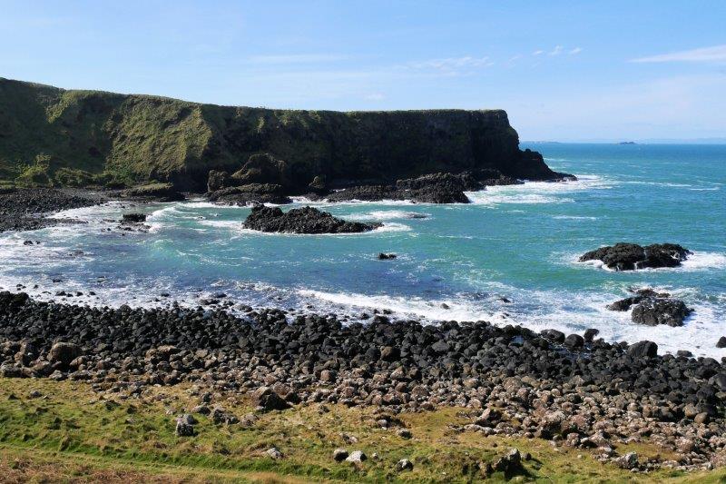
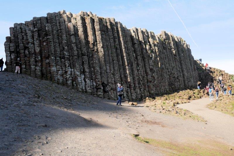
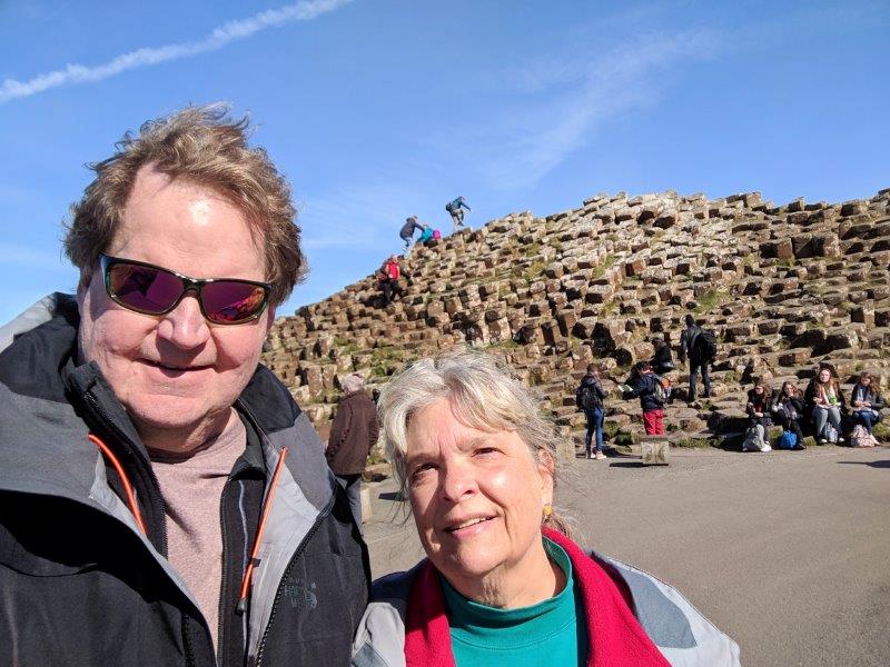
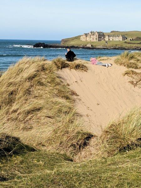
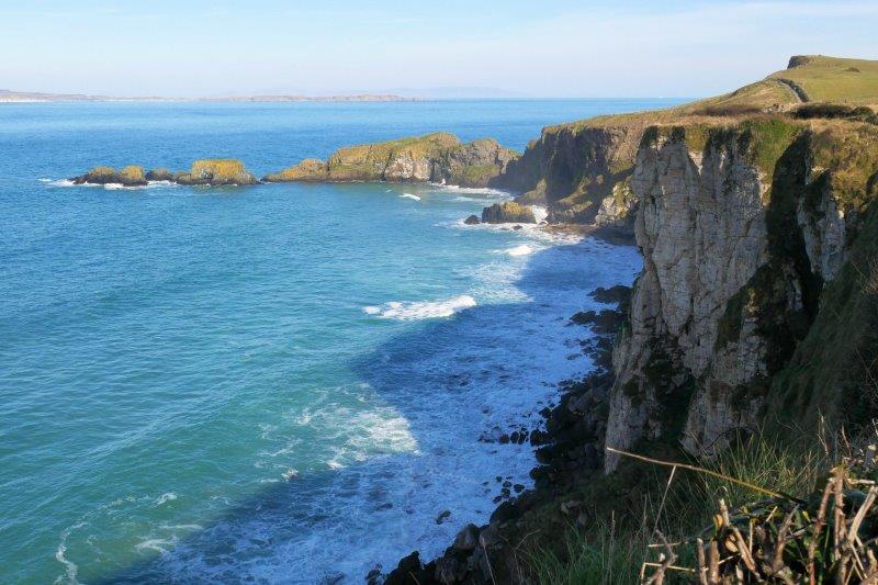
After Belfast, our next stop was Bushmills and Giant’s Causeway way up in the north.  We lucked out with the first truly nice day of the trip – blue sky, sunshine, relatively warm.  The scenery was spectacular for Giant’s Causeway visit and a drive along the coast.  Bushmills is a tiny village with Bushmills Irish Whiskey distillery and not much else. 

Since the sun was out, we walked 2.5 miles to the Giants Causeway and back. The path followed the tram line and wound through a golf course. Later we drove on the Causeway Scenic Drive. This is a view along that.
You’d better be good golfer to avoid the roughs.
Walking along Giants Causeway
A geologist can explain the details of the rocks that make them wear away into pillars.
Mark and Susan in front of the pillars at Giants Causeway.
We’re getting better with the selfies. We didn’t scramble all over the rocks like the group of French high school students did.
Sunbathing, Irish Style, when the sun decides to come out!

On the drive back down to Dublin, we drove through one town that’s clearly a Unionist town. The curbs and bridges were painted red, white, and blue and the British flag was flying high.

If you look carefully, you can see Scotland as a shadow in the very back of the picture. It was clear enough to see the mainland of Scotland!

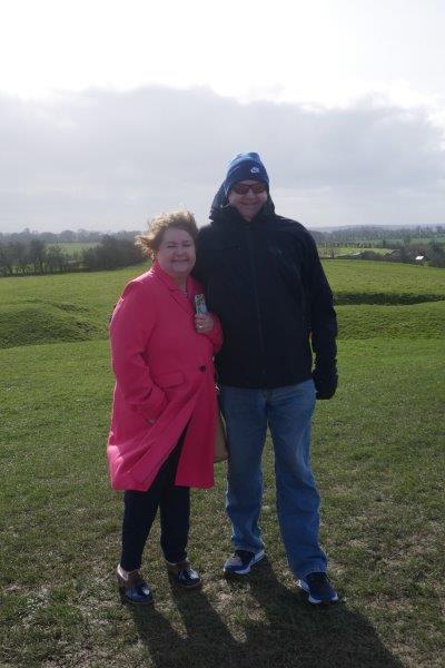
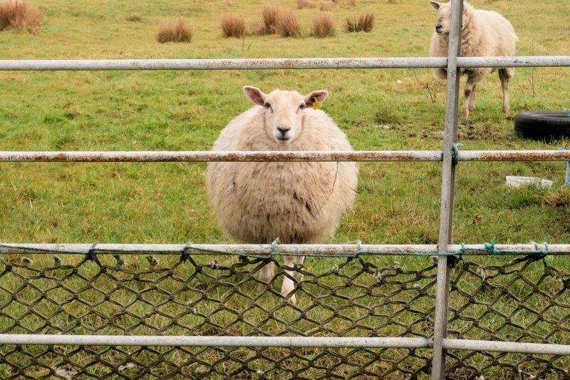
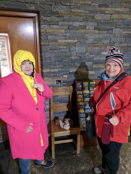
Our last stop before we head off to London is south of Dublin to visit friends David and Celia Drane, their 3 children, 2 dogs, one cat, sheep, horses, cows, and chickens for the weekend.

One note about Google maps … I had a paper map with me that we used in conjunction with Google maps. Google maps is great in the cities and towns but needs some human intervention in countries like Ireland where there aren’t many motorways (interstates). When you ask for directions from A to B, it seems to choose the shortest route, without any knowledge of whether those roads are big roads or little roads. In Ireland, a little road can end up being a 1.5 lane road where the speed limit might turn out to be 20 mph due to sheer width of the road! After the first day of this, I started planning out a route on the paper map (making sure I used major roads) and then using Google to take me on that route.

Google maps also has a small problem with roundabouts in Northern Ireland. Many of their roundabouts require you to get in the correct lane ahead of time if you don’t want to be forced off at the wrong exit. Google maps can’t tell you to be in the 2nd lane from the left. Their database doesn’t contain the lane markings painted on the road!

Google is good at winding you through back streets if you take a wrong turn. It never told us to turn around in town! And it does know the tiny lanes to use to find ruins and churches out in the country.

3/31- Update from green Ireland

We’ve been in Ireland for about 19 days now checking out some sights alone and with Mark’s sister, Julia for 10 of those days.  Mark and Susan got a few extra days because a lovely winter storm decided to show its head in Colorado on our scheduled departure date (the bomb cyclone of snow and high winds).  We proactively called United and convinced them to let us change the tickets with the same exact routing to 2 days early.  I must have been super nice because they agreed – we packed, left the next day and spent 2 extra days in Dublin, arriving just in time for a winter wind and rain storm.

Julia arrived on March 15 and the adventure began with overnights at Navan, Liscannor, Killarney, Kilkenny, and Dublin. High winds and rain continue!

Hill of Tara
You can tell how windy it was at the Hill of Tara. This was the end of the winter storm in Ireland.
Burial passages at Newgrange. The rain poured down here while we listened to the tour guide. We were glad to be the first group in the passage because the rain had mostly stopped by the time we came out.
Newgrange burial passages
Wind was blowing straight into my face. It was bit chilly!
Newgrange stone building
Part of Newgrange. You can see why Ireland is called the Emerald Isle – caused by copious quantities of rain including the rain drop on the camera lens.

Mark drove while Susan navigated, and Julia enjoyed the scenery from the backseat.  We visited Newgrange in a downpour and the Cliffs of Moher in 40 mph winds. The rest of the days were typical spring weather – grey, cloudy, off and on rains.

On the drive from Navan to Liscannor (north of Dublin across the country to County Clare in the west), we stopped in Tullamore to tour the Tullamore Whiskey distillery. Google maps had a problem with this one. It got us close but put us on the opposite side of the canal from the factory on a one way street (we think) with no parking. Old fashioned direction guessing led us to a city parking lot by the distillery.
What distillery tour would be complete with a tasting?

Liscannor is a TINY village on the west close to Cliffs of Moher. Every village has a parade on St. Patrick’s Day, including this one – 10 minutes long. It’s also close to the Cliffs of Moher and makes a great location for exploring the area.

View of the Cliffs of Moher
View of the Cliffs of Moher. The wind blew about 40 mph while we were there, making the walking less than ideal. When the weather is better, a path goes along the cliffs for miles.
Everyone bundled up for this excursion. The wind was howling!
Ring of Kerry drive. This drive took most of the day even in low season. We can’t imagine doing this one in the summer with all the tour buses fighting for parking space along the way.
The fog rolled in and out all day long along the Ring of Kerry.
The Skellig Ring is a peninsula off the Ring of Kerry. We made a stop at the Visitor Centre for a toilet and this picture of the harbor.
Sheep everywhere! It is lambing season and the babies are pretty cute!
This sheep was very interested in us.
A man blowing glass in the Waterford factory
Julia wanted to visit the Waterford factory. When we visited before, the plant was on the outside of town. Now it’s in the middle of Waterford! We honestly thought we were in the wrong place. The tour is good; like all good tours it ends in the gift shop. They will be happy to ship your purchases home for you!

3/2019 A few pics of Ireland

One of many ruins we found along the way. This one is from the 8th century – a collection of churches and a round tower where the monks took refuge when they were attacked.
We spent St. Patrick’s Day in Liscannor along the west coast in County Clare. They had a parade like the rest of the country. When your population is about 100, the parade only lasts about 10 minutes.
After the parade, we drove to Cliffs of Moher where the wind was whipping at about 40 mph. Julia and Susan (and everyone else) bundled up before venturing out to see the scenery. Mark took the pictures!
Cliffs of Moher.
More of the Cliffs of Moher.
We drove from Liscannor to Killarney today on mainly good roads. It was a bank holiday so not much traffic. Surprise! The Killarney Brewing Company was 4 buildings from our hotel so we HAD to try their beer! Great beer and we ran into a couple who had lived in FC when he worked for Anheuser-Busch.
Hawkeyes are everywhere! This one was shopping in Killarney with his wife. Mark chatted with him while Julia shopped.